| landsat | relief | wind | rainfall | solar | ag lands | homelands |
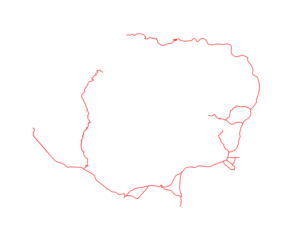
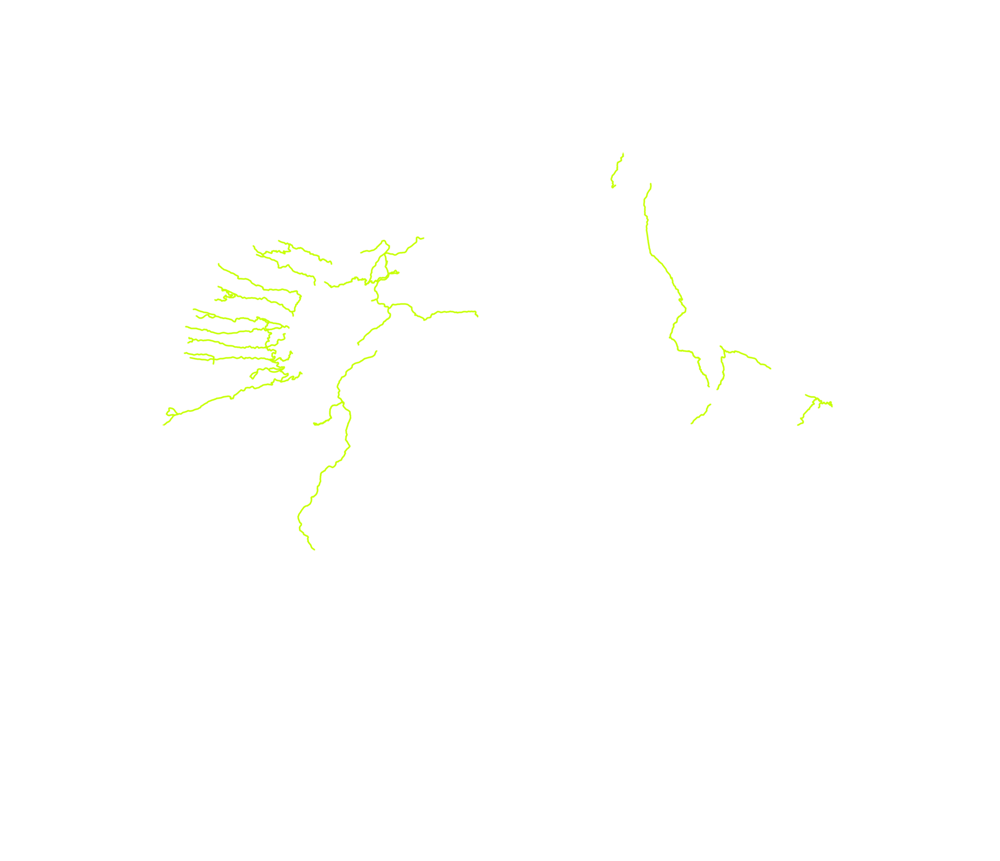
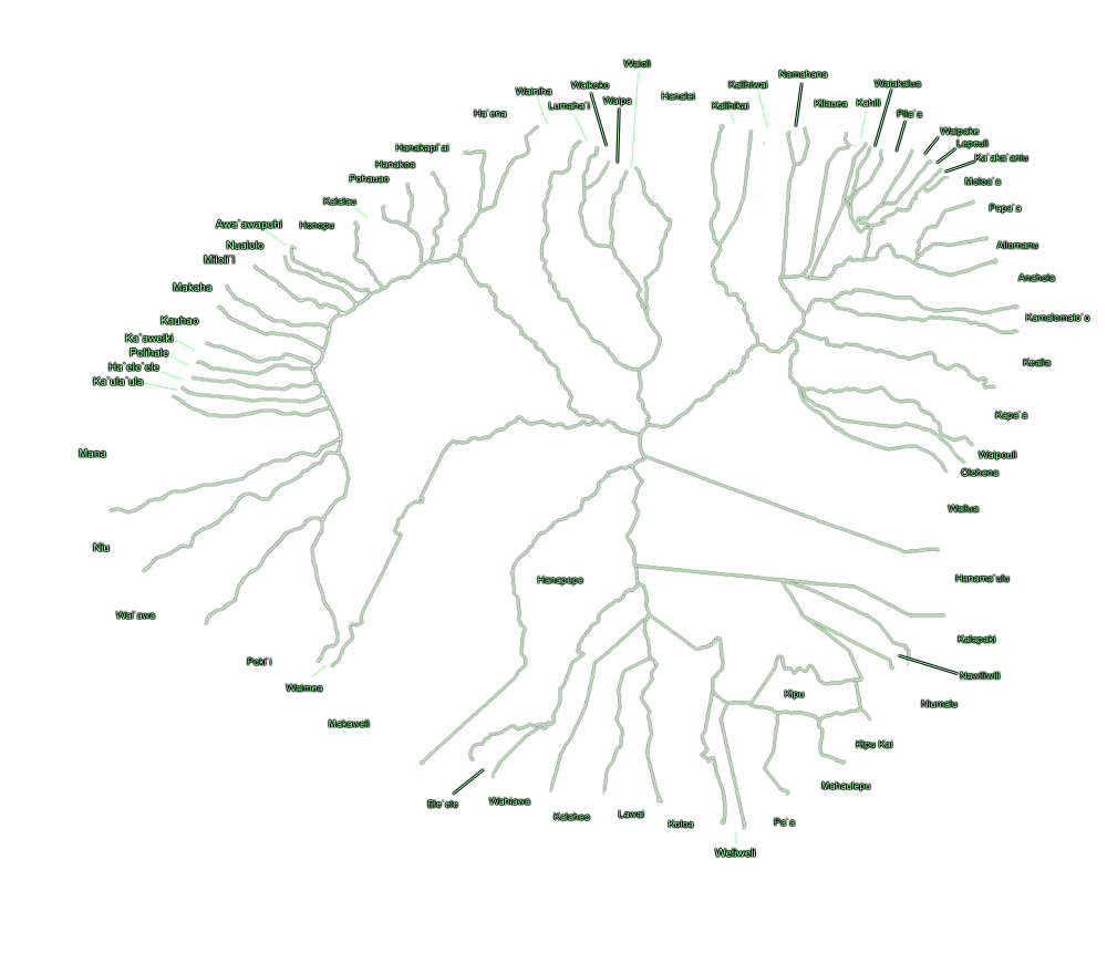
| major roads | trails | towns | ahupua`a | TMK map |

| Key | Inches |
|---|---|
| > 300 | |
| 300 ~ 280 | |
| 280 ~ 260 | |
| 260 ~ 240 | |
| 240 ~ 220 | |
| 220 ~ 200 | |
| 200 ~ 180 | |
| 180 ~ 160 | |
| 160 ~ 140 | |
| 140 ~ 120 | |
| 120 ~ 100 | |
| 100 ~ 80 | |
| 80 ~ 60 | |
| 60 ~ 40 | |
| 40 ~ 20 | |
| < 20 |
Rainfall Data Source: Hawaii Dep't of Agriculture
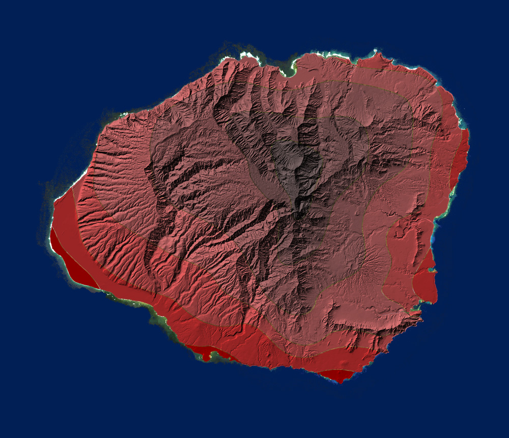
At 70 Meters/230 ft.
As Miles/Hour and Meters/Second
| Key | MPH | M/S |
|---|---|---|
| > 21.3 | > 9.5 | |
| 20.1 ~ 21.3 | 9.0 ~ 9.5 | |
| 19.0 ~ 20.1 | 8.5 ~ 9.0 | |
| 17.9 ~ 19.0 | 8.5 ~ 8.0 | |
| 16.8 ~ 17.9 | 8.0 ~ 7.5 | |
| 15.7 ~ 16.8 | 7.5 ~ 7.0 | |
| 14.5 ~ 15.7 | 7.0 ~ 6.5 | |
| 13.4 ~ 14.5 | 6.5 ~ 6.0 | |
| 12.3 ~ 13.4 | 6.0 ~ 5.5 | |
| < 12.3 | < 5.5 |
Wind Speed Data Source:
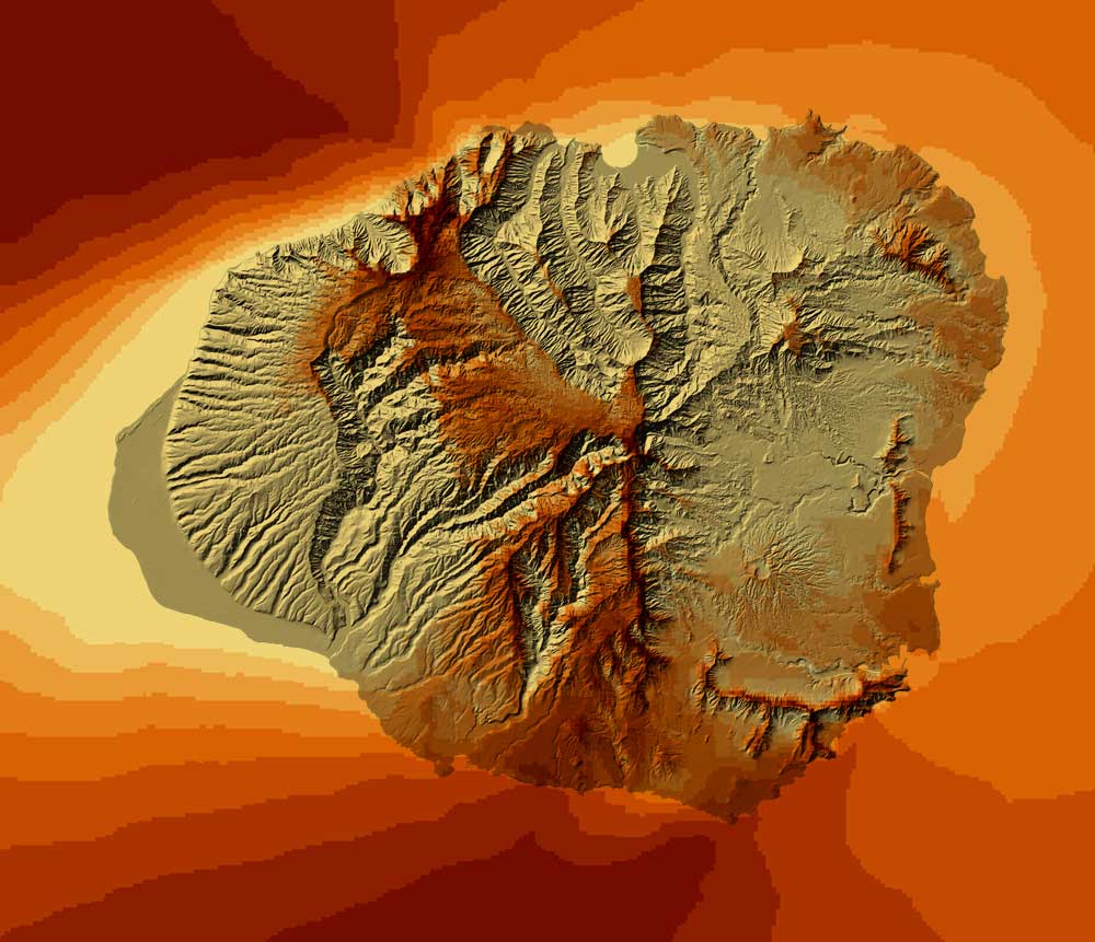
Estimated Daily Solar Insulation Contours
| Key | cal/cm2/day |
|---|---|
| < 250 | |
| 300 ~ 250 | |
| 350 ~ 300 | |
| 400 ~ 350 | |
| 450 ~ 400 | |
| 500 ~ 450 | |
| > 500 |
Solar GIS Info from the National Renewable Energy Laboratory
A Catalog of Potential Sites for Renewable Energy in Hawaii(.pdf)
Renewable Energy page of the Department of Business, Economic Development and Tourism
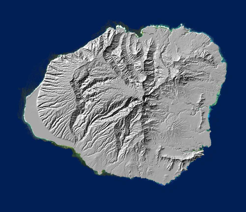
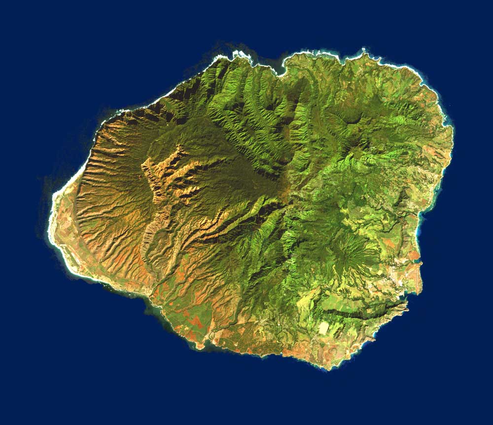
Source: U.S. Geological Survey, Western Geographic Science Center, July 2004
Link
Geography:
Kauai has a land area of 1,430.43 km² ( 552.29 mile²)
Highest elevation: 1598m (5,243ft.)
Population (2005 est.): 62,640
Population Density: 94.0/sq. mile
Population change 2000 to 2005: +7.1%
Other links of interest:
Kauai County US Census Bureau Data
Kauai Demographic Data from city-data.com
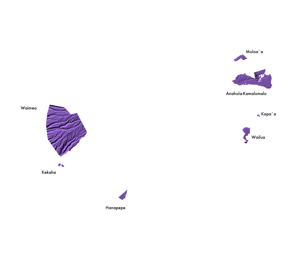
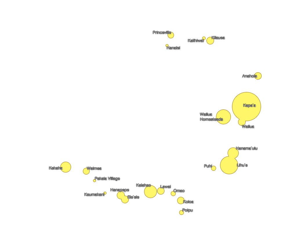
| Community | Population |
|---|---|
| Kapa`a | 9472 |
| Lihu`e | 5674 |
| Wailua Homesteads | 4567 |
| Kalaheo | 3913 |
| Hanamaulu | 3272 |
| Kekaha | 3175 |
| Hanapepe | 2153 |
| Kilauea | 2092 |
| Wailua | 2083 |
| Ele`ele | 2040 |
| Lawai | 1984 |
| Koloa | 1942 |
| Anahola | 1932 |
| Waimea | 1787 |
| Princeville | 1698 |
| Omao | 1221 |
| Puhi | 1186 |
| Po`ipu | 1075 |
| Kalihiwai | 717 |
| Kaumakani | 607 |
| Hanalei | 478 |
| Pakala Village | 478 |
Demographic Info from idcide.com
| Key | Description |
|---|---|
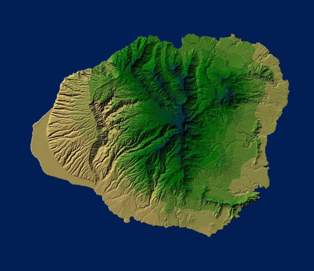
| Prime Agricultural Land | land best suited for the production of food, feed, forage and fiber crops |
| Unique Agricultural Land | land other than PRIME AGRICULTURAL LAND and is used for the production of specific high-value food crops |
| Other Important Agricultural Land | land other than PRIME or UNIQUE AGRICULTURAL LAND that is of state-wide or local importance for the production of food, feed, fiber and forage crops |
ALISH Classification Explanation
Source: The Office of Planning, Dep't. of Business, Economic Development and Tourism, State of Hawaii